About
30 years of experience in cultural and natural resource consulting.
Founded in 1994
Tremaine & Associates, Inc. is a certified Woman-Owned (WBE), Small Business (SBE), and Disadvantaged Business (DBE) firm headquartered in Northern California. Founded in 1994, we serve public, private, and tribal clients across California and the United States.
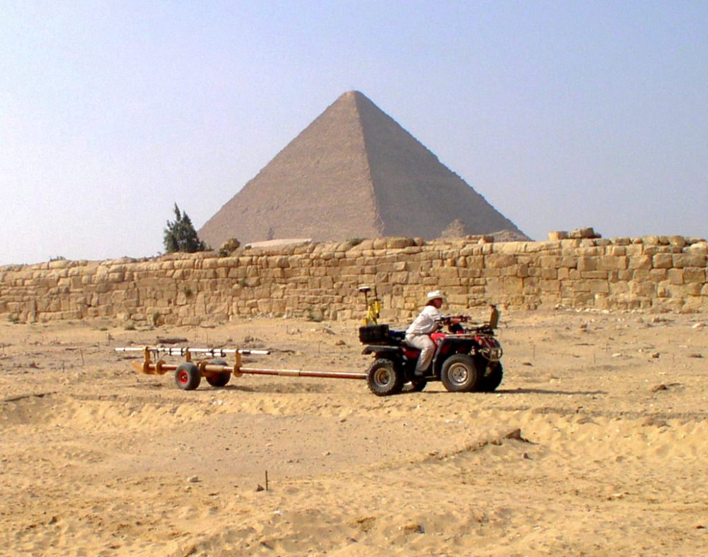
Tremaine blends innovative technology with human-centered insight to deliver minimally invasive, cutting-edge solutions to complex environmental and archaeological challenges. Our approach integrates GIS modeling and remote sensing, GPR and magnetometry, drone photogrammetry, and LiDAR with seasoned field judgment and stakeholder engagement to produce rigorous, defensible deliverables under CEQA/NEPA and Section 106—on time, on budget, and with respect for communities and resources.
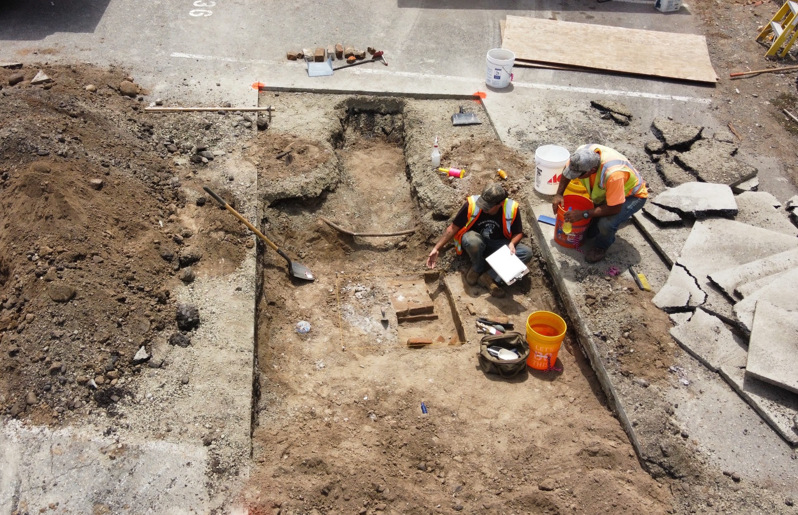
We specialize in cultural resource management (CRM), archaeological investigations, subsurface analysis, paleontological and biological resource assessments, soils sampling from simple detection and mapping, monitoring, or within the context of interdisciplinary Environmental Sequence Stratigraphy studies. They include field and desktop studies, inventory and evaluation, archival research, predictive modeling, eligibility determinations for NRHP/CRHR, HABS/HAER/HALS documentation, and construction-phase monitoring and data recovery.



Our Team Supports Projects of Every Stage and All Sizes
From early planning, constraints analysis, and permit strategy through fieldwork, agency and tribal consultation, mitigation design, curation, and post-construction compliance reporting—serving public agencies, private developers, utilities, and tribal partners across California, the United States, and the globe.


Future Ready – Past Informed
Tremaine & Associates, Inc. is a full-service, cultural resource management (CRM) company. We have performed Phase I, XPIs, Phase II and III studies and excavations involving as many as 70 field technicians and specialists. Tremaine’s fee schedules are often below competitive rates, since where possible we offer fixed price estimates when using our minimally invasive and nondestructive methods for detecting and mapping and sampling archaeological resources. These methods employ both patented and proprietary methods that allow for contingency based decision-making and involve project stakeholders with opportunities to take part where warranted during a project’s design & planning phases.
Tremaine Methodology

Aligned With Applicable Statutes and Regulations
Cultural and heritage management, including:
We are experts in homesteading
Lorem ipsum dolor sit amet, consectetur adipiscing elit. Ut elit tellus, luctus nec ullamcorper mattis, pulvinar.

Gordon Vela
founder

Tanya Kiger
co-founder

Winston Jenkins
Manager

Jayne Cupps
Expert

Mobile EM^3
Tremaine’s proprietary EM^3 delivers a capability unique in our industry: a fully mobile electromagnetic system for near-surface mapping (upper ~10 meters / ~33 ft). Our patented, noninvasive, minimally destructive technologies let us detect and visualize what’s underground without touching the ground. The mobile workflow scales to projects of any size, duration, depth, target, or complexity—reducing site disturbance and accelerating decisions.